Creating Terrains using Satellite Data in Houdini


David CGMK | Duration: 4:42 h | Video: H264 1920×1080 | Audio: AAC 44,1 kHz 2ch | 9,41 GB | Language: English
In this online course, the viewer will build upon the workflows of the first tutorial and learn advanced techniques for generating more complex terrains and landscapes with Houdini and to use them inside a game engine like Unreal Engine 4.
We will be focusing mostly on how to import and process satellite topography data to
– Convert point clouds into actual height fields with multiple layers of information including vegetation scattering masks.
– Convert it into game assets with baked maps
This course has been designed for intermediate users who have a good knowledge of Houdini and ideally who have watched the Introduction to Terrain Generation for Games with Houdini course.
After viewing this course, people can expect to be able to use real world satellite data and combine it with advanced terrain techniques inside Houdini to generate amazing landscapes.
Even though this course focuses on game engine application, these techniques can also be applied in VFX for Environment creation.
会员资源
会员用户免费查看此资源升级会员
温馨提示:资源来自网络网友投稿,如有侵权,请联系邮箱:houqitu@yeah.net
本文链接:https://www.houqitu.com/h/6044.html
相关文章
-

Houdini School – HS-225 Procedural Growth with KineFX and the Labs Tree Tools
-

DoubleJump Academy – Unlocking the Magic of Houdini
-

MPC In-house The Focus Houdini FX Tutorials
-

FlippedNormals – Creating a Megastructure Generator in Houdini
-
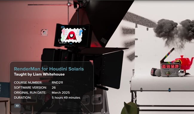
FXPHD – RND211 – RenderMan for Houdini Solaris
-

Grooming for Animated Characters
-

Unreal Engine 5 C++: Advanced Frontend UI Programming
-

Break Your Crayons – Houdini Cloud Simulation Course


发表评论